|
0 Comments
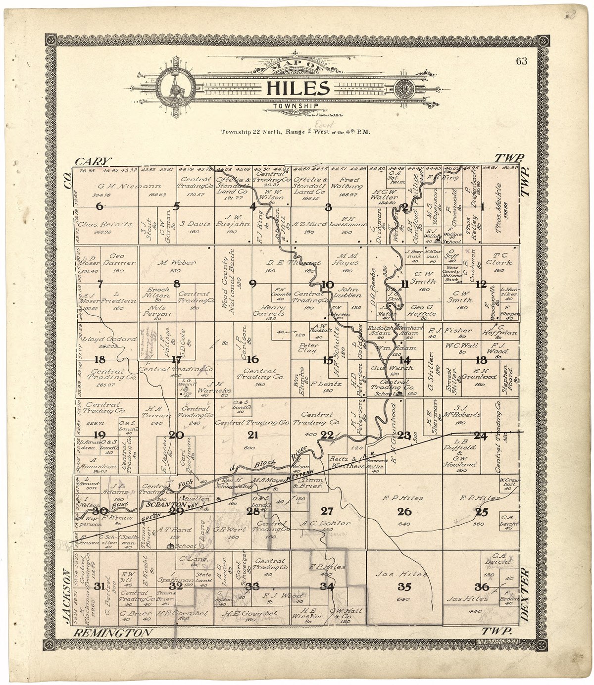
We had a particularly cold blast in February this year which made it too cold to get outdoors to volunteer at the arboretum. In its place, we had a Zoom session with volunteers who found the time to talk with each other. One of our stewards (essentially a leader for us volunteers) ended up sharing some research that he had been doing lately digging up old survey records from over a century past around the arboretum grounds.
It was pretty neat seeing some of the odd measurements that were used by the surveyors. And, yes, I did say odd and not old. While they are kind of both, I feel that odd best describes them. The meticulous nature I pictured of these groups of people working together to lay measuring chains across this country before western expansion of the United States happened was an odd one indeed. It made me want to learn more about these measurements, why they were being made, and how that influenced the shape of the country today. After all, the United States is a surprisingly consistent grid system east to west and this measuring seemed like it could be why. I ended up doing a little research of my own and wanted to share a bit about what I'd found, so let's dive in! |
AuthorPrismatic Planet wants to get excited for the planet, raise awareness of its inhabitants, and get smarter about Earth. Archives
July 2024
Categories |


 RSS Feed